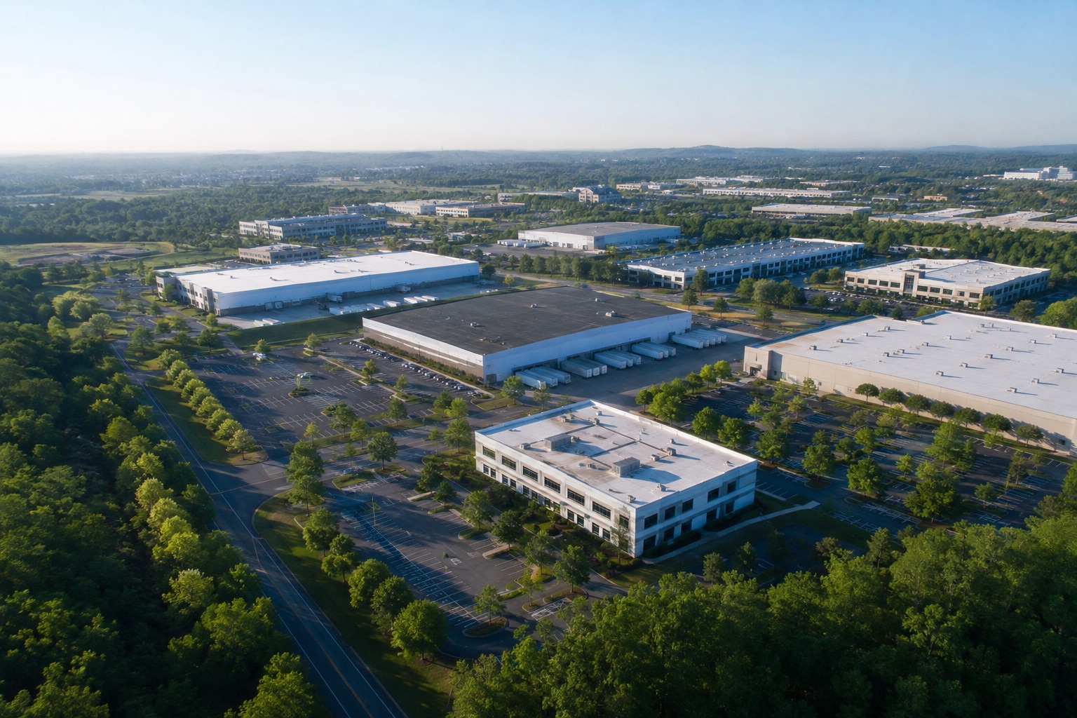
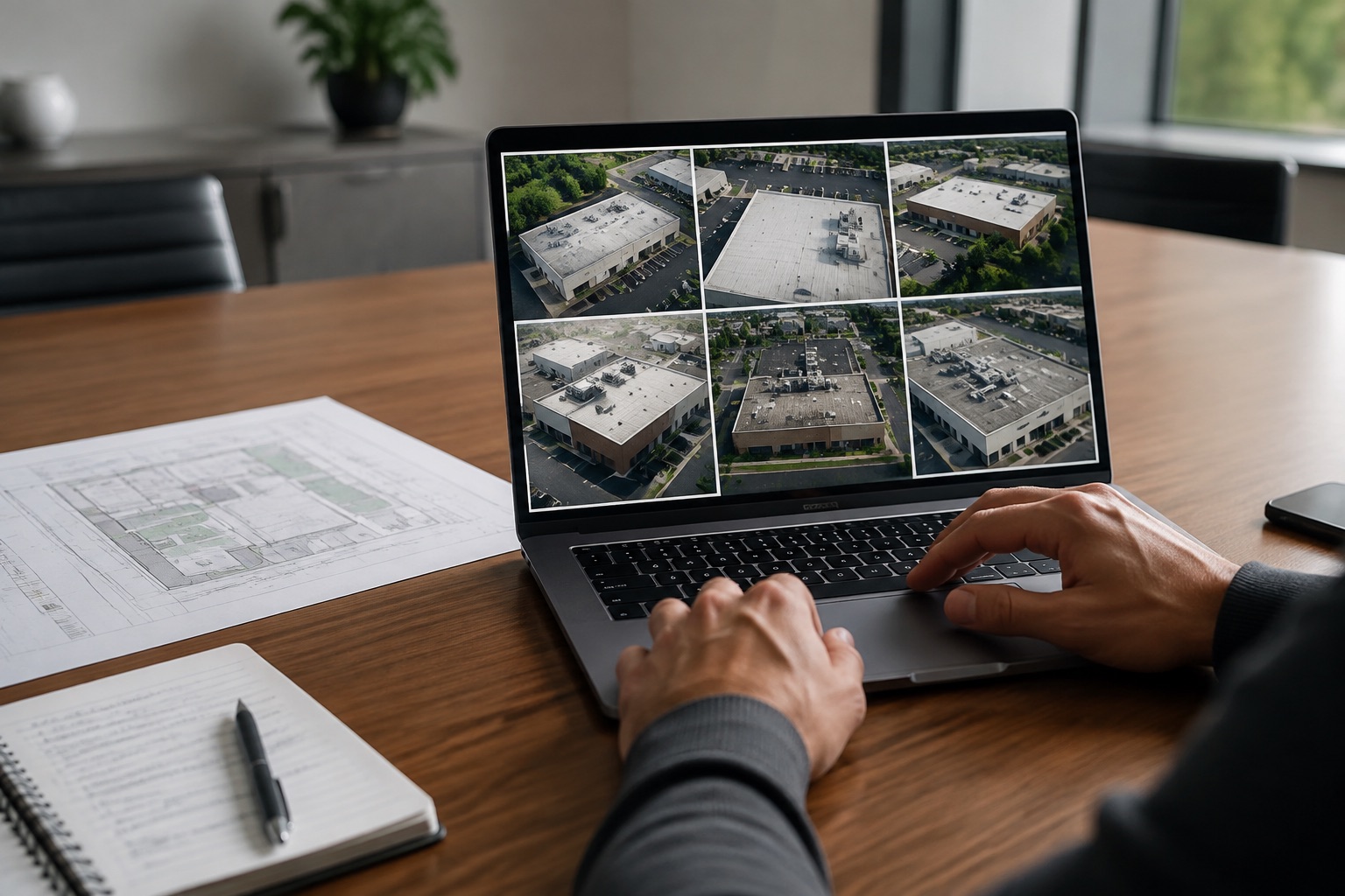
Faster Site Documentation
Capture broad site context and requested detail areas in one coordinated operation.
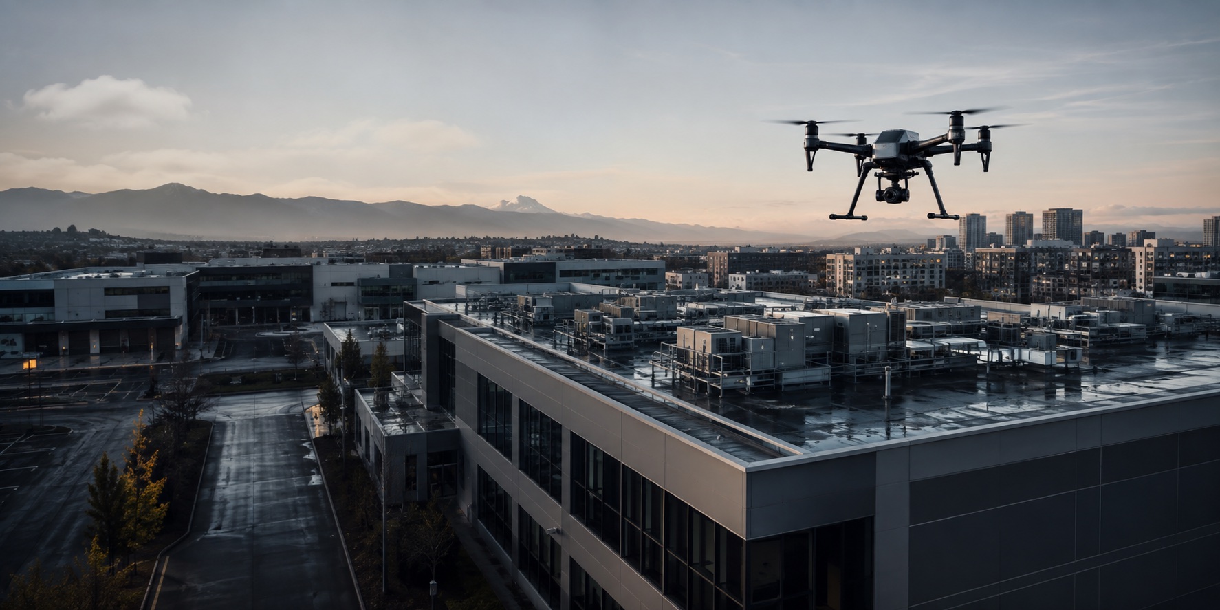
Commercial drone services across Canada
Inspect commercial properties, monitor construction progress and document difficult-to-access assets with coordinated drone services across Canada.
A clearer first look
Traditional visual inspections can require lifts, scaffolding, roof access, shutdowns or multiple contractors. Where operationally appropriate, aerial capture provides efficient visual information that helps teams understand the site and decide what closer work is needed.
Capture broad site context and requested detail areas in one coordinated operation.
Gather initial visual information without beginning with personnel accessing every elevated area.
Return to defined viewpoints for consistent progress and condition documentation.
Standardize requests and deliverables across properties, cities and provinces.
Commercial applications
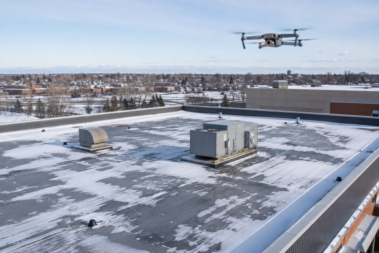
Document roof surfaces, drainage, flashing and rooftop equipment without beginning with full roof access.
02Repeatable progress imagery for owners, contractors, developers and project teams.
03Visual documentation of upper elevations, roof edges and difficult-to-view exterior areas.
04Site-specific aerial documentation for facilities, structures and operational assets.
05Thermal data capture for suitable roofs, solar assets and industrial applications.
06Aerial visual and thermal documentation for commercial and utility-scale solar assets.
07Time-sensitive aerial records after weather events or visible exterior damage.
08Scheduled aerial documentation for commercial properties and multi-site portfolios.
Recurring aerial monitoring
Scheduled monitoring creates a repeatable visual record for one property, an active project or an entire portfolio.
Build a Patrol ProgramScheduled aerial inspection and documentation.
Recurring monitoring with repeatable viewpoints, comparisons and structured reporting.
Multi-location inspection programs for property portfolios and national organizations.
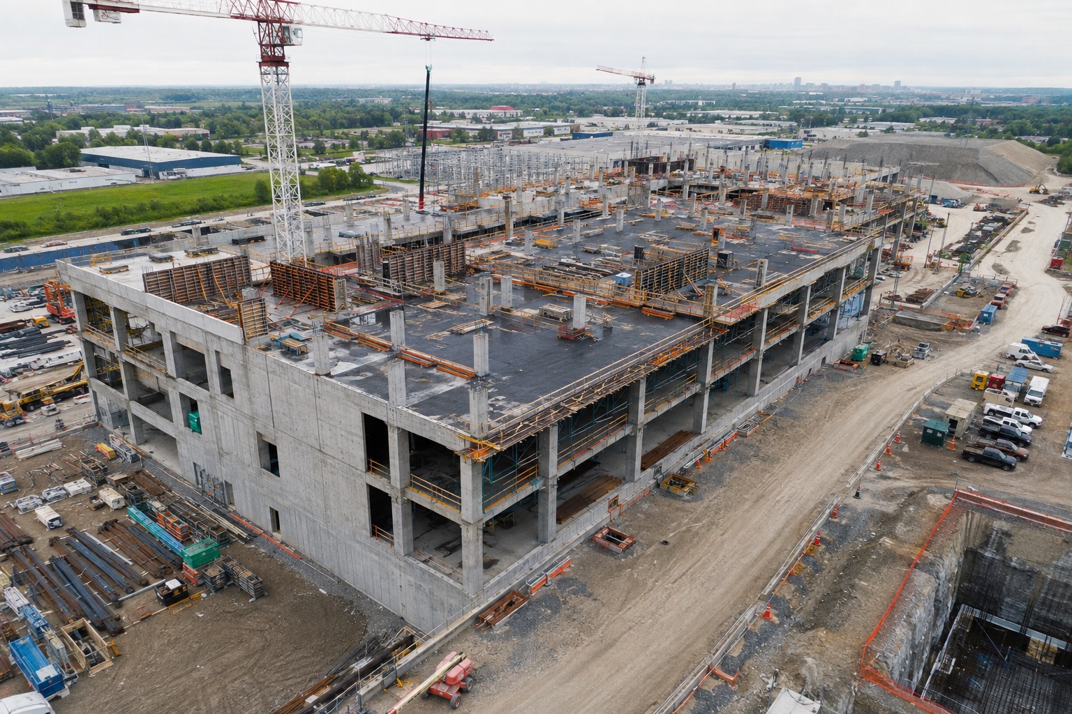
Construction monitoring
Coordinate weekly, biweekly or monthly capture so owners, contractors and remote stakeholders can follow the project from consistent viewpoints.
Commercial properties
Document roof surfaces, drains, flashing, rooftop equipment, façades, visible exterior deterioration, storm damage and other hard-to-access areas.
DronePatrol provides visual documentation and does not replace required engineering, trade or professional inspections.
Commercial Roof Inspections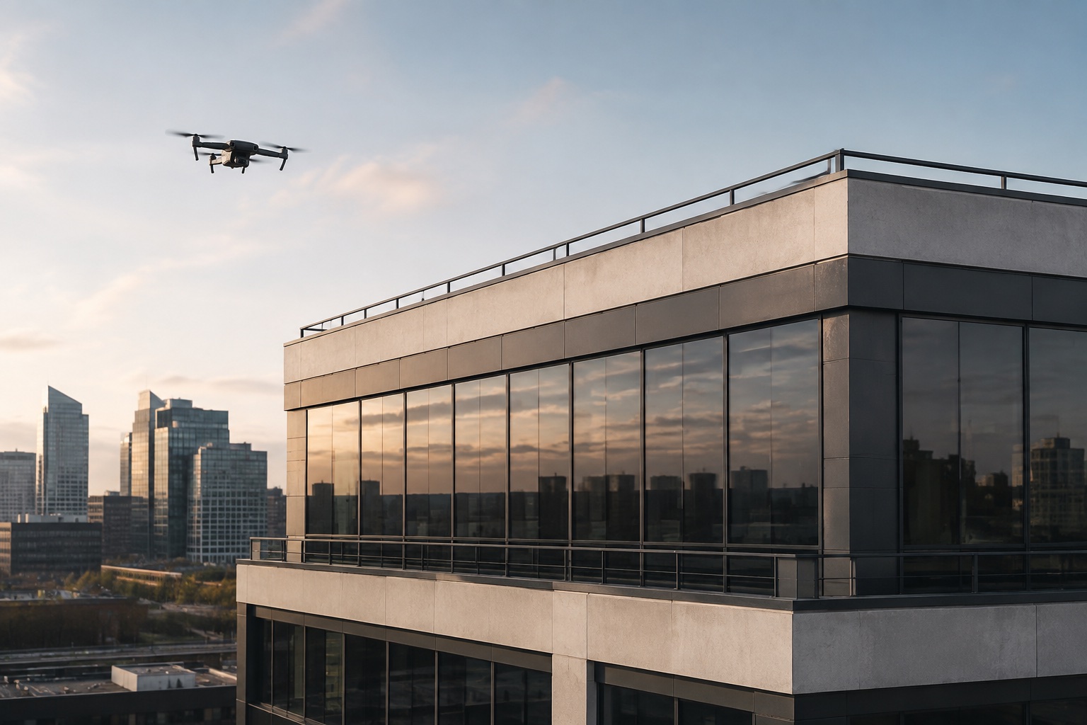
Across assets and environments
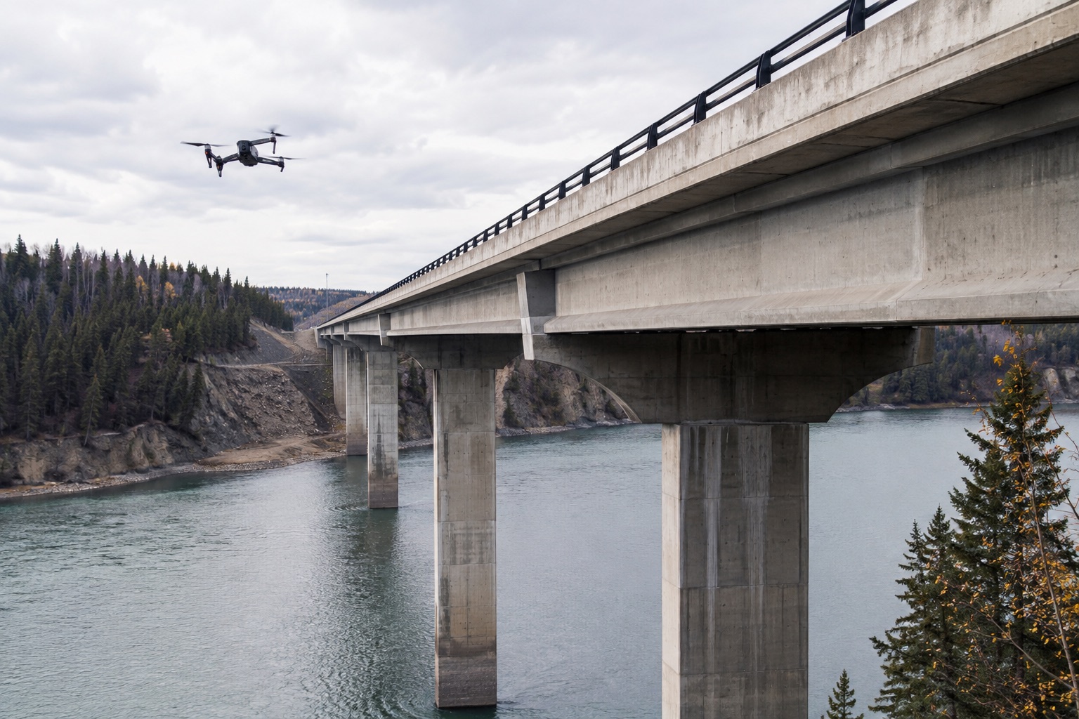
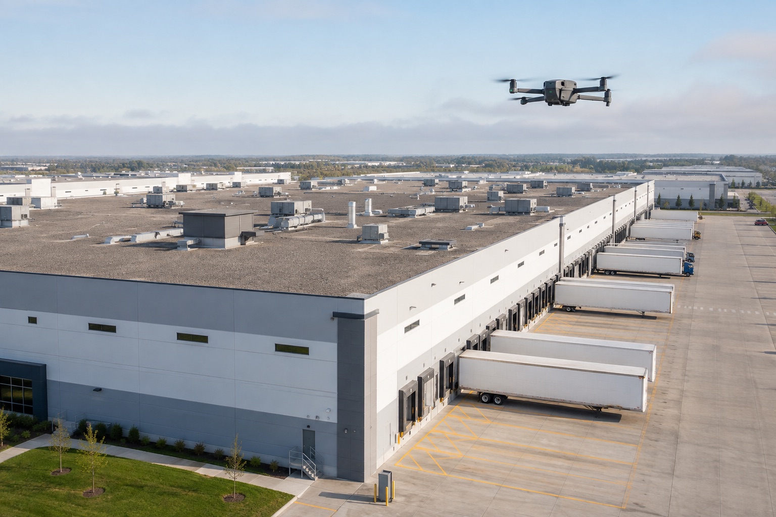
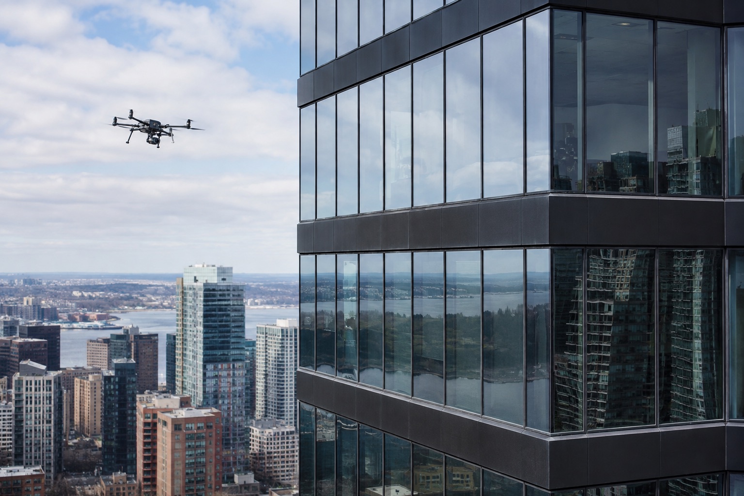
From freight networks and waterfront facilities to winter roofs and high-rise façades, each capture plan is matched to the asset and business question.
National coordination
Coordinate one assignment or a standardized multi-location program across every Canadian census metropolitan area. Service availability still depends on the exact site, airspace, weather and operational requirements.
Explore All 41 MarketsHow it works
Share the asset, location, timing and what you need documented.
We assess site access, required imagery, airspace, weather and operational requirements.
The operation is scheduled with the site contact and required permissions.
Imagery and reporting are organized and delivered according to the agreed scope.
Industries
Portfolio Patrol
DronePatrol coordinates standardized aerial inspection programs across multiple sites, cities and provinces.
Operational planning
Every project is reviewed based on the site, airspace, aircraft, weather, access and operational requirements. Drone operations are coordinated in accordance with applicable Canadian aviation requirements.
Frequently asked
A drone inspection can document visible exterior conditions, context and areas that may warrant closer review. It does not guarantee defect detection or replace analysis by an engineer or other qualified professional.
DronePatrol coordinates commercial operations across Canada. Availability depends on the location, airspace, weather, site conditions, permissions and operational requirements.
Yes, where operationally appropriate. Imagery can cover roof surfaces, drainage, flashing, rooftop equipment and requested detail areas.
Yes. Weekly, biweekly and monthly programs can use repeatable viewpoints and date-organized deliverables, subject to ongoing site and flight feasibility.
Some operations may be possible with appropriate planning and authorization. Every site is reviewed individually; controlled-airspace access is never assumed.
Safety and data quality come first. If conditions are unsuitable, we coordinate a new practical flight window with the site team.
Yes. Portfolio programs can standardize the requested views, reporting structure and scheduling across multiple locations.
Thermal capture may be available when the target, equipment and environmental conditions are suitable. Thermal data should be interpreted by appropriately qualified personnel.
No. DronePatrol provides aerial visual and data documentation. Required engineering, code, trade or hands-on inspections remain the responsibility of the appropriate professionals.
Deliverables are defined in the scope and may include high-resolution imagery, video, repeatable viewpoints, thermal data, organized site folders, comparisons and structured reports.
Start a site review
Tell us what you need inspected, monitored or documented. We'll review the site and recommend the appropriate drone service.