
Industry solutions across Canada
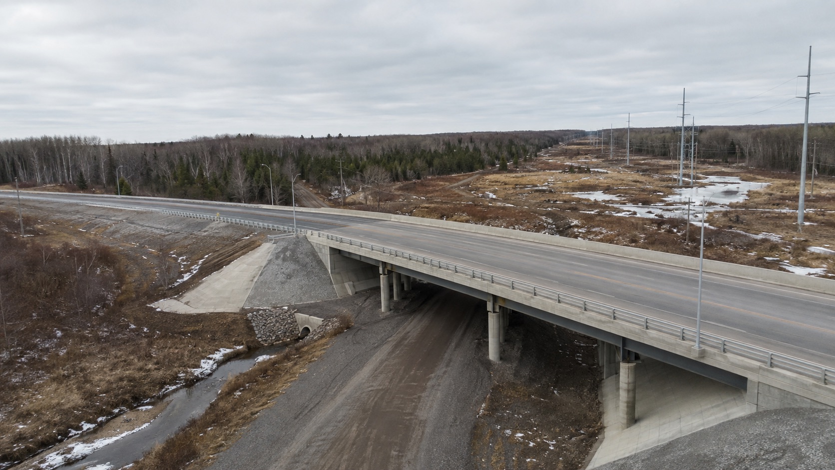
Drone services for Infrastructure.
Aerial visual capture can support documentation of suitable infrastructure assets where permissions, airspace, site conditions and operational requirements allow.
Operational use cases
Aerial documentation tied to real work.
The scope starts with what the project team needs to understand, compare or communicate. Flight planning and deliverables are then built around that commercial purpose.
Relevant services
Build the right inspection program.
Commercial Drone Inspections
Coordinated aerial visual inspection and documentation for commercial assets.
Explore service DronePatrol serviceIndustrial Drone Inspections
Site-specific aerial documentation for facilities, structures and operational assets.
Explore service DronePatrol serviceProperty Patrol Monitoring
Scheduled aerial documentation for commercial properties and multi-site portfolios.
Explore serviceProfessional boundaries
Documentation supports qualified decisions.
DronePatrol captures and organizes visual or thermal data as scoped. We do not present aerial imagery as engineering certification, guaranteed defect detection or a replacement for required professional inspections.
Start a site review
Planning a infrastructure assignment?
Tell us what you need inspected, monitored or documented. We'll review the site and recommend the appropriate drone service.