
01Energy support
02Manufacturing
03Logistics properties
Red Deer, Alberta
Commercial and industrial aerial inspection services along Alberta’s central corridor.
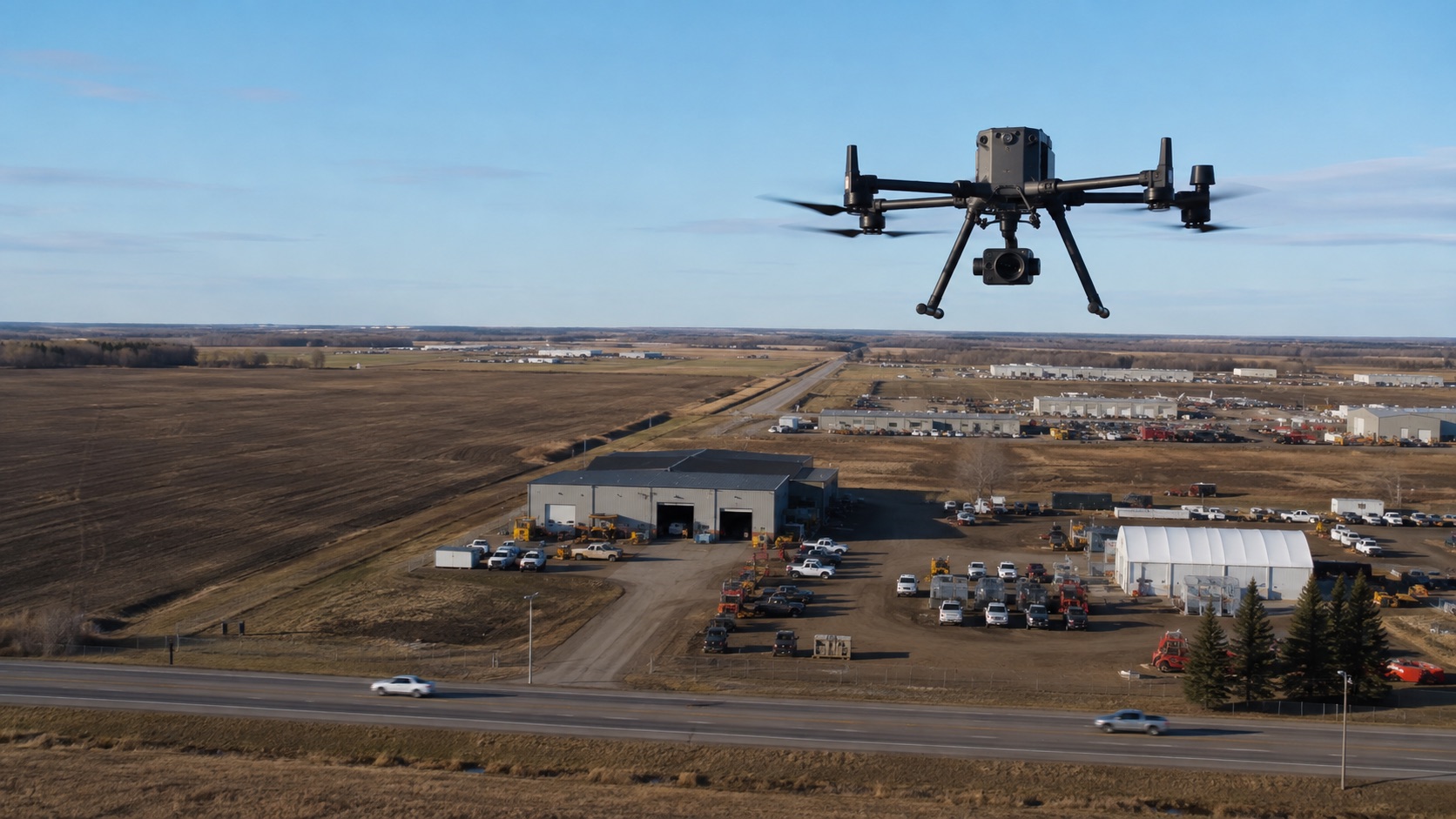
Local operating context
Energy and manufacturing activity, highway logistics, airport considerations and fast-changing weather shape the operating plan.
Coverage may extend to Blackfalds, Lacombe, Penhold and nearby industrial districts. Availability is confirmed only after the specific address and requested operation are reviewed.
Commercial applications
Document roof surfaces, drainage, flashing and rooftop equipment without beginning with full roof access.
Repeatable progress imagery for owners, contractors, developers and project teams.
Visual documentation of upper elevations, roof edges and difficult-to-view exterior areas.
Scheduled aerial documentation for commercial properties and multi-site portfolios.
Built for the local market
The region's property mix and operating environment shape the capture plan. These are common starting points—not blanket promises that every site or flight is feasible.
01Energy support
02Manufacturing
03Logistics properties
01Industrial-site controls
02Airport considerations
03Prairie wind and weather
Red Deer operations
No. Each address is reviewed for airspace, access, nearby activity, permissions, weather and operational feasibility.
Recurring programs may be possible using defined viewpoints and schedules, with every operation still subject to current conditions and requirements.
Potential surrounding coverage includes Blackfalds, Lacombe, Penhold and nearby industrial districts. Send the exact address for confirmation.
Start a site review
Tell us what you need inspected, monitored or documented. We'll review the site and recommend the appropriate drone service.